Local GIS Datasets
One of GuyNode's top priorities is to assemble map layers to support local government planning and local level climate change adaptation planning in Guyana. We are working to assemble NDC-level map layers that show the location of features such as:
- Local canals, drains, trenches
- Sluices or kokers
- Village roads, dams, trails
- Utility networks - water, telecommunications, electricity
- Land uses
- Land parcels
- Public facilities, e.g., markets, schools, playgrounds, etc
- Cemeteries
- Disease outbreak events
- Crime events
- Flood zones
- etc.,
If you have maps that show such features and would like to share them with us, then email them to us at guynode.adm@gmail.com.
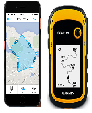
Alternatively, you can help by using the GPS on your smart phone to begin collecting coordinates of community facilities. If you collect coordinates and send them to us, we will geoprocess them and make them available on our websites.
Examples of Community GIS BaseMaps we are Working to Build
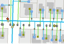
1. Map of Water Utility Lines
"
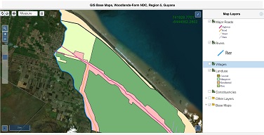
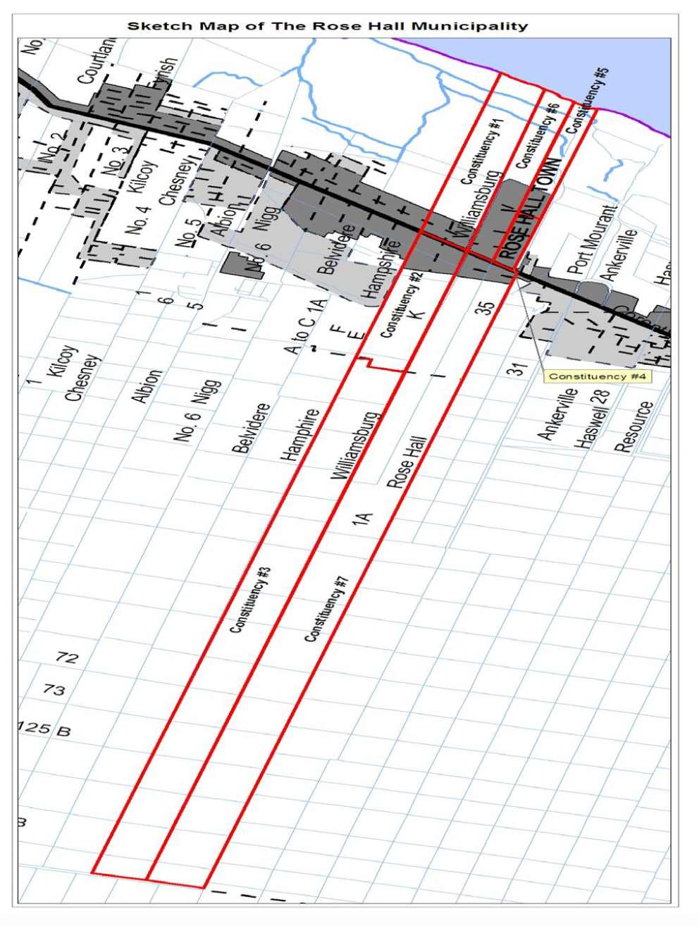
2. Interactive Map Showing Roads, Canals, Landuse, Villages, Constituencies, etc.