by Hugh Semple
The Street Centerline File
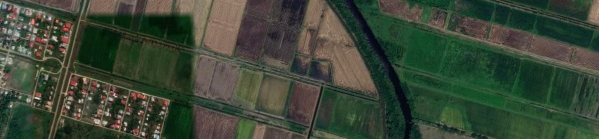
A street centerline is a digital map layer that contains single lines that represent the center of paved and unpaved roads, ramps, bridges, etc. The map is digitized so that nodes are created at each street intersection to capture the topology of the road network. Also, each road segment contains attributes such as street name, street type, address ranges, one-way designations, speed limit, etc. Click on this link for an example of a street centerline file. The file is for the City of Cambridge, Massachusetts, USA.
The importance of the street centerline file is that the topological structure of the dataset allows network analysis including routing analysis to be performed. At the same time, the address ranges in the attribute table allow us to quickly geocode addresses within the street network. GPS devices within vehicles depend on street centerline files for finding addresses and for calculating best routes to destinations. Businesses and public sector agencies use this dataset within their own customized software to look up addresses of customers or clients. Researchers use street centerlines within GIS software to geocode disease and crime events. Of course, without a street centerline dataset, you can’t use Google Map to look up the address of anyone.
Digital Street Maps in Guyana
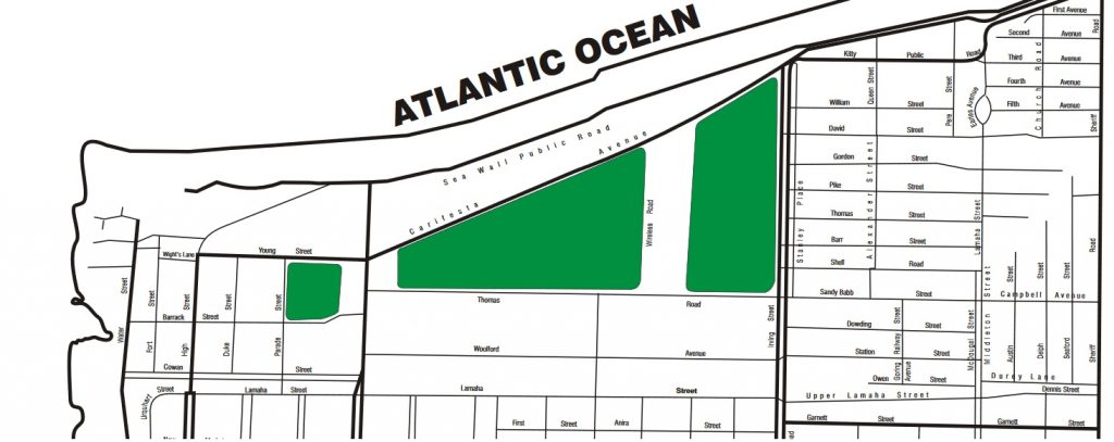
To be clear, Guyana does have digital street maps. For example, the tourism street map below for Georgetown is a digital street. However, this map is in pdf format and cannot be used by GIS software for geocoding or routing.
Partially completed street centerlines for urban areas and NDCs in Guyana can be downloaded from Open Street Map. GuyNode has made such downloads available for Georgetown and Linden on its website. These layers have street names, but the crucial address ranges are missing. Although, one can use these files in GIS software to look up street names, it is not possible to use them to precisely geocode addresses as points. Attributing Guyana’s street maps with address range data is required at this stage. This process can be time consuming and tedious, but since we are dealing with a relatively small country, this task can be executed within a few weeks depending on the number of people involved in the project.
Perhaps the Guyana Lands and Surveys Department could coordinate a street centerline project for the entire country. Or, each municipality and NDC could take on such a project for their particular jurisdiction. Maybe the NDC, municipalities and the Lands and Surveys Department working together could develop this critical map layer. Or, maybe a private GIS company can be given the contract. Regardless of the model adopted, Guyana urgently needs a street centerline file for those parts of the country that have streets and some form of house addressing.
Missed Opportunities
I recently read an article that described several researchers trying to map road accidents in Guyana. It took the researchers a long time to map the data because the accident addresses could not be geocoded. Instead, the coordinates of accident addresses had to looked up on Google Map and then entered into the accident dataset to facilitate mapping. Needless to say, this is an inefficient way of mapping events. Currently, patient addresses from hospital databases cannot be quickly geocoded with this method, so we cannot quickly map and study disease patterns. This is a real pain if there are disease outbreaks.
Crime mapping in Guyana is also severely hindered by the lack of street centerlines. Without such a map layer, the Police Force cannot regularly conduct crime mapping to identify and target shifting crime hot spots in Georgetown and elsewhere.
As the oil industry gathers steam in Guyana, lots of foreigners will be visiting Guyana. Without a good street centerline file, they won’t be able to use the GPS in rented cars. Time to put an end to this situation. I hope that govt can allocate money for this venture in next year’s budget.