GuyNode is currently developing a shapefile of Guyana’s coastal villages. Geographically, after their immediate neighborhoods, Guyanese relate to the villages, towns, and city where they were born. So, maps and GIS layers showing details of these places would be of great use to many people for both data visualization and analysis.
A quick Internet search shows that maps of Georgetown, including interactive maps, can be found on several websites. However, shapefiles of the city are hard to find. It is even harder to find detailed shapefiles for towns such as Linden, New Amsterdam, Corriverton, Lethem, and others. As for public domain shapefiles of villages along Guyana’s coast, these appear non-existent.
To plug these gaps, GuyNode digitized boundary maps of all the urban places in Guyana, except Mahdia. These maps show boundaries of the municipalities a well as electoral constituencies.
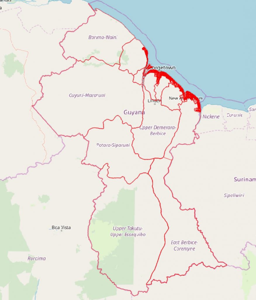
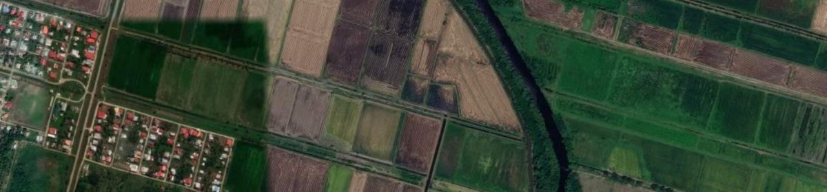
GuyNode also sought to create a public domain shapefile of villages along Guyana’s coast. Village boundaries were extracted from map of villages on Guyana’s coast in jpg format found at Princeton University Library’s website. This map was completed in 1949 by the Directorate of Colonial Surveys, Great Britain. Villages and their names are clearly shown on this map, however, one limitation is that it does not show villages along the Essequibo coast. It actually stops at the Essequibo Islands.
We also extracted village boundary polylines from Open Street Map. However, since these are polylines, they had to be converted into polygons and attributed. We started with Region 5 and this layer is already completed (See illustration below). You can also preview the layer here, or download it from GuyNode website. This layer contains the 2012 census population for each village.
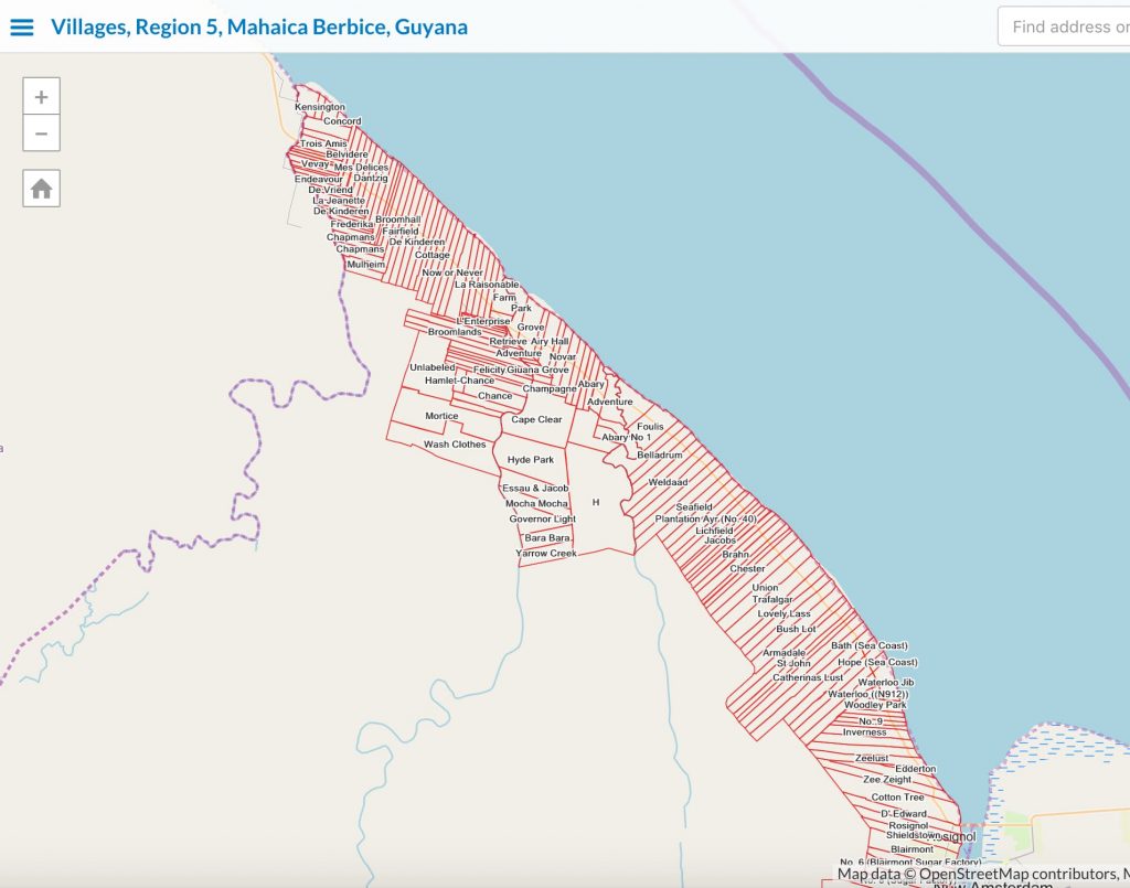
We are now working on the remaining coastal villages. This layer should be available within the next couple of months. When completed, it will allow researchers and planners to display crime rates, disease rates, population distribution, income level by villages, ethnicity by villages, etc.. In short, GuyNode believes that the availability of this layer will contribute significantly towards the analytic use of GIS in Guyana. Here is a preview of the layer.